I left home early on a cloudy Sunday morning and headed west to the Peak-to-Peak highway. It was late April and I could not see the nearby Continental Divide, because it was immersed in a snowstorm which threatened to move out onto the foothills.
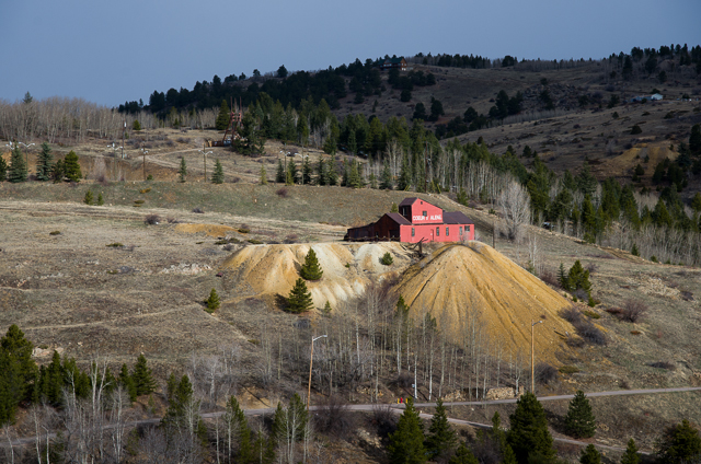
Blackhawk and Central City were quite empty so early on a Sunday morning. A patch of sunlight illuminated the abandoned Coeur d' Alene mine as I drove up out of Central City toward Idaho Springs on the Virginia Canyon road.
From Idaho Springs, I followed I-70 through snow flurries and then through the tunnel under the Divide. Silverthorne and Frisco on the west side were dry, but the clouds were threatening a storm. At the Copper Mountain ski resort I turned off the interstate and headed south toward Leadville. The north side of Fremont Pass had heavy snow falling onto the already snowpacked road. But the south side of the pass was merely wet, because the sun had warmed the ground there, and the warmth melted the snow as quickly as it fell. I reached Leadville with the sky still quite cloudy and the Sawatch range west of the town obscured by a snowstorm.
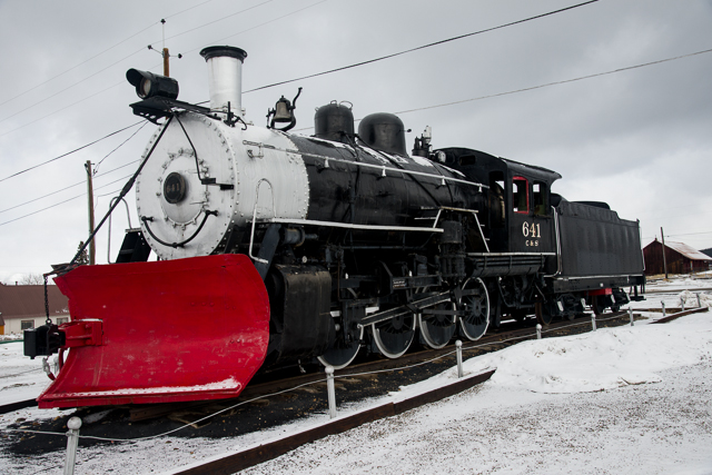
I stopped at the Leadville train station. The narrow-gauge train there is a summer-only ride for tourists that runs north along the Arkansas River from Leadville to Fremont Pass. This locomotive with a snowplow on front instead of a cow-catcher is displayed near the station.
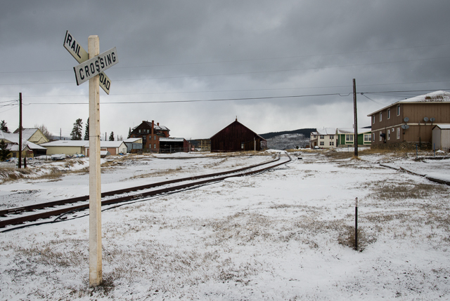
The tracks are empty this time of year as they wind through the snow at the edge of town.
I next drove up a county road along the north edge of the mining district east of and up the mountainside from town. I soo found the great snowdrift at the end of the plowed road. Then I turned around and started back to town. Just as I reached the edge of town, the clouds started to part on the Sawatch Range.
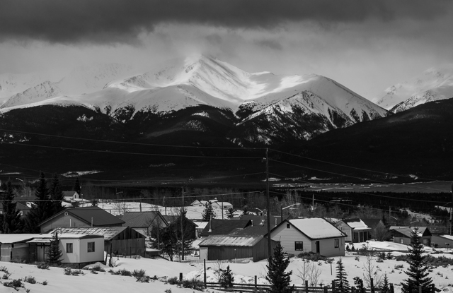
The sunlight illuminated the fresh snow on the mountains in brilliant patches surrounded by dark shadows. Mount Elbert, seen above, is the highest peak in the Southern Rocky Mountains at 14,440ft (4401m), and it was the first to emerge from the clouds.
For the next couple of hours, I drove south along the valley of the Arkansas River watching the light on the mountains and seeking opportunities for photos. There were a lot of opportunities.
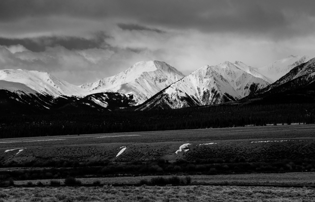
The Leadville Trail 100, a 100 mile ultra-marathon, crosses the low saddle between the peaks on the left side of this photo. After descending into the valley on the far side of the pass, the course reverses, crosses the pass again, and returns to Leadville.
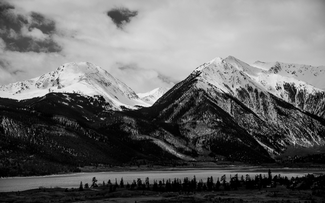
I eventually reached a spot above Twin Lakes and found this photo waiting for me.
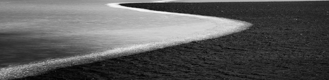
The ice has only partially melted on Twin Lakes, and the wind has blown the remainder to the east. The edge makes a graceful curve as it crosses the lake.
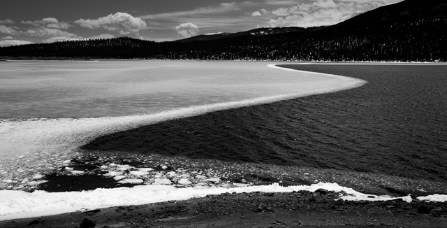
The sinuous curved edge of the ice makes an attractive abstraction by itself.