Our plan was to travel north to visit Glacier National Park in Montana and then drive on to see the Canadian Rockies and the national parks there. It was the same plan as we had in 2016, but last year it was thwarted when we could not get the transmission in our vehicle repaired, because the shops were all booked for the Takata airbag recall. This year we tried again with at least some success, but were again largely thwarted, this time by the very dense and noxious smoke issuing from the very many wildfires burning in the northwest of the US and the southwest in Canada.
We began our excursion just before noon on Sunday the 3rd of September before Labor Day on the 4th. There was some light haze in Colorado, but it was not so noticeable that we thought much about its source. The "haze" increased on Monday as we drove, and we realized that what we had been thinking was haze was in fact smoke, and we correctly surmised its source as being mostly the many wildfires in Montana.
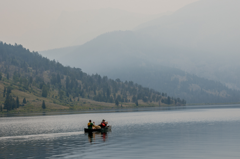
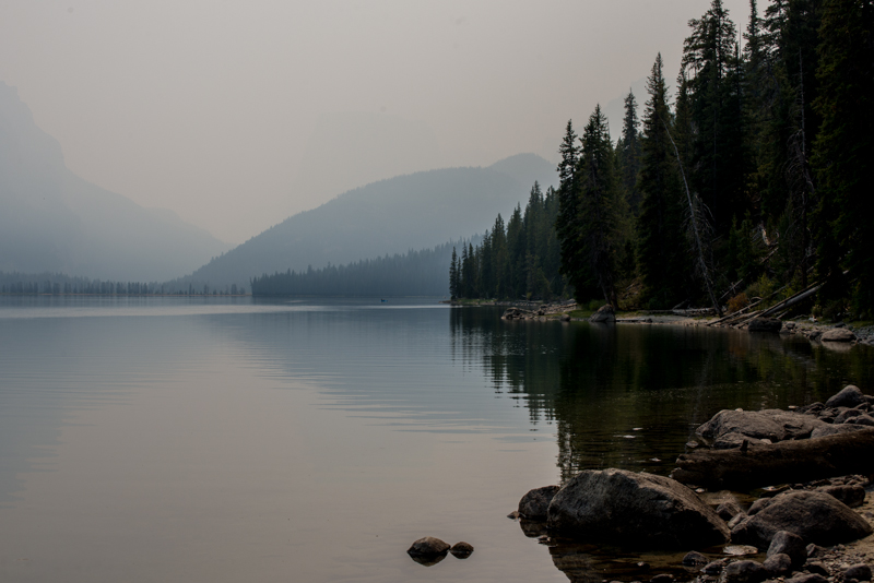
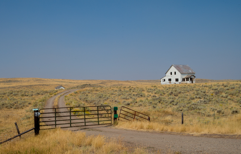
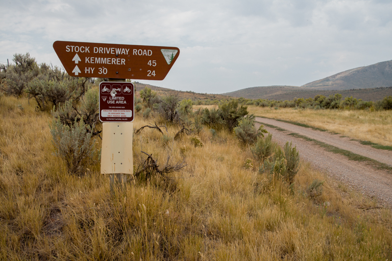
At Pinedale, Wyoming, the smoke had grown thicker when we turned onto SH 352 to reach the Green River Lakes. These lakes are the "source" of the Green River, one of the West's largest rivers. The Green joins the Colorado River in Canyonlands National Park of Utah. Other people had also driven to the lakes, some pulling RVs, some coming to the trailhead for a pack trip on one of the trails that pass by the lakes and some coming just to paddle about the lakes in their canoe or kyak.
(Click on Images to see larger ones and captions.)
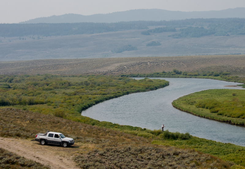
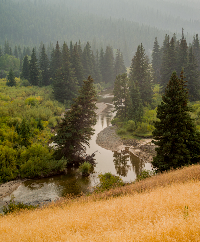
Returning from the Lakes the rough road winds through the valley that the Green River has made in leaving the higher mountains. The valley is wide but has a gentle slope, so the river winds down it in a sequence of graceful curves that it has cut into the broad flood plain. We passed a few people who were fishing. At one spot where the river runs across a short rocky stretch, we saw a large bird, probably an osprey, surveying the river from its perch on a large boulder amidst the swift current.
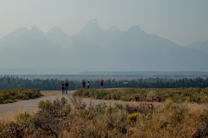
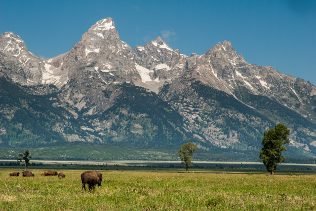
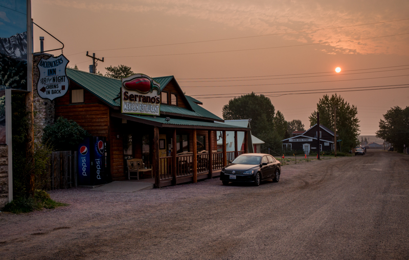
The smoke seemed thicker by the time we reached Jackson, overrun by vehicles and throngs of people. We passed through the chaos without delay and continued north. It was disappointing to try spotting the Tetons which rise abruptly and spectacularly above the plain of the Snake River just a few miles north of town. Instead of a dramatic mountain scene, the view of the peaks was dramatically degraded, and they existed only as barely visible and indistinct silhouettes.
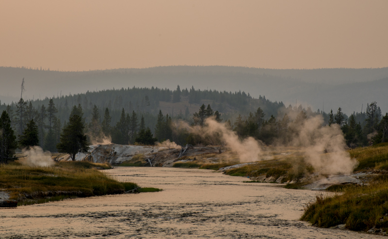
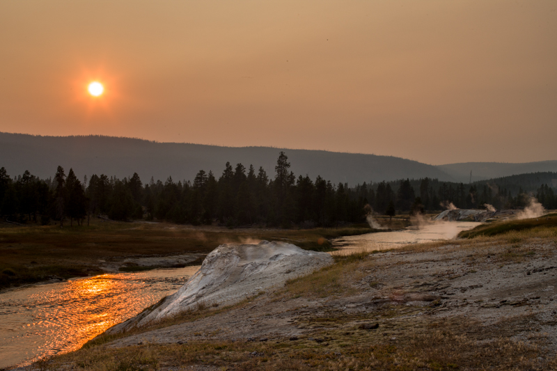
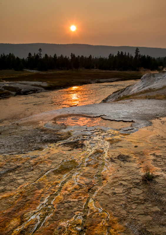
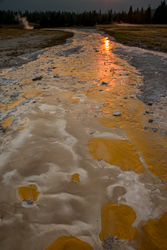
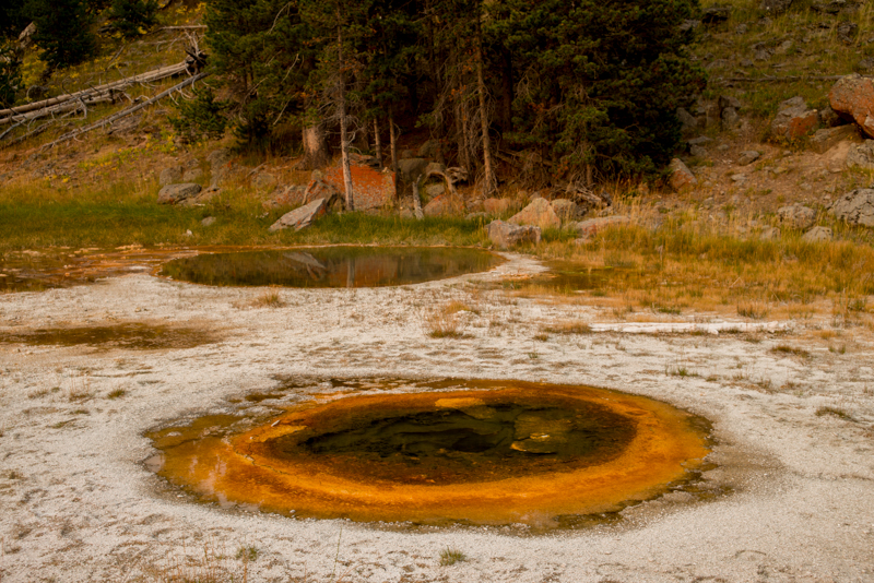
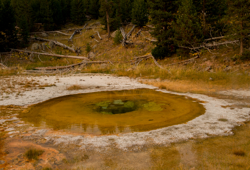
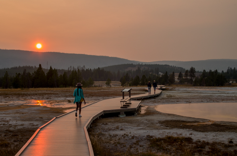
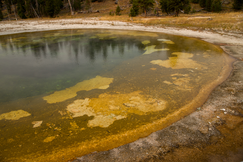
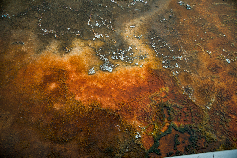
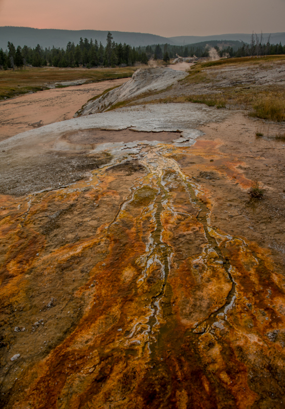
The dense traffic between Jackson and the main roads into Teton National Park abated somewhat beyond the viewpoint, and we reached Yellowstone National Park a short time later. We stopped in the late afternoon at the Upper Geyser Basin, the home of the Old Faithful.
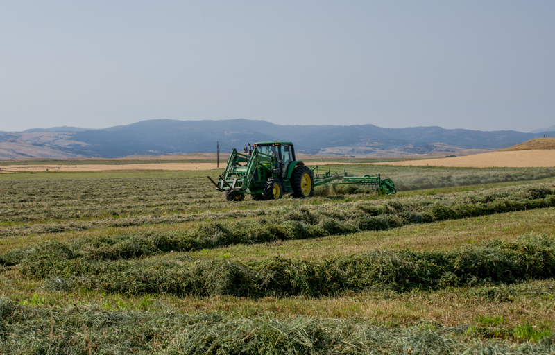
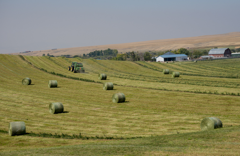
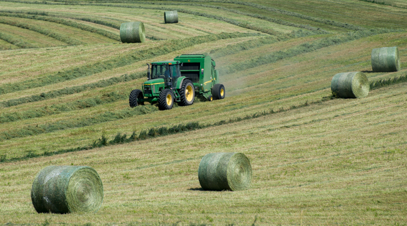
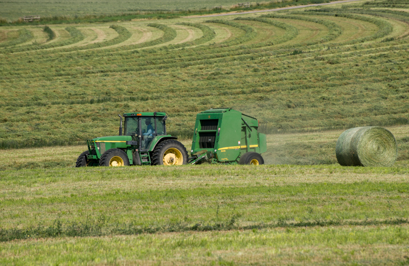
US 89 north of Livingston, Montana passes through a wide valley of high plains farmland that is situated at about 5000 feet elevation and is flanked for many miles by higher hills which we saw dimly through a filter of thin smoky haze. Many of the farms in this area produce hay which was then being cut and baled. It is hard to imagine that there would be a use and a market for so much hay. Beyond the hay fields, which all seemed to be irrigated, the land was covered by amber grasslands that occasionally hosted small herds of cattle. Strangely, we saw no pronghorn antelope anywhere though they are known to inhabit nearly all of the state.
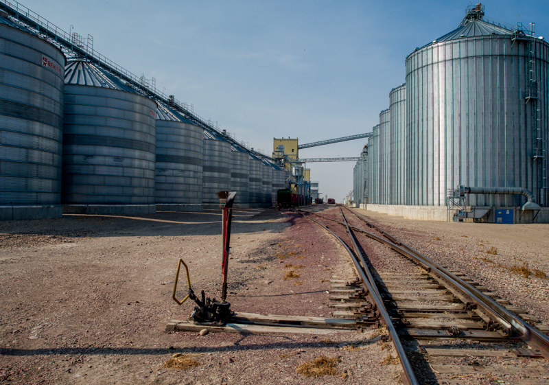
After White Sulfur Springs, US 89 crosses the Little Belt Mountains, an east-west trending range that rises to just over 9000 feet. The road goes no higher than 7000 before descending through a long canyon to the plains again and passing eventually to Great Falls on the Missouri River where the altitude is about 3500 feet. The highway continues north and traverses many miles of farmlands that produce grains which are stored in grain bins like the ones below at Fairfield. The land is relatively flat,and there is not much gain in altitude until the highway rises a bit toward Browning at about 4400 feet.
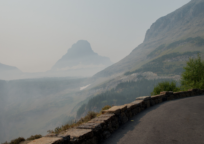
The ever-present smoke grew denser as we moved north and westward toward Glacier National Park, because the fires that were producing most of the smoke were burning on the west side of the park. We learned later that the fires and the smoke they produced began in early July and had been burning ever since. Similar fires were burning all throughout the northwest, but Montana had been especially heavily hit by them with 21 major fires now still burning. Another fire in Canada's Waterton Lakes National Park caused the closure and evacuation of the entire park, and it also contributed to the smoke filling Glacier National Park. The causes of the fires were mostly natural, but the especially heavy smoke was due largely to a high pressure dome that had been stalled over the region since July. The dome was coupled with an inversion which let the smoke rise only a short distance before it stopped rising at the boundary with the warmer air not far above the ground. That kept the smoke closer to the ground than usual and enabled it to accumulate.
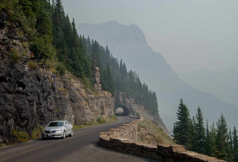
We passed through Browning, continuing on toward Glacier National Park. The highway becomes a narrow, serpentine ribbon along the east edge of the park as it passes across and around the foothills of the Lewis Range. The smoke grew thicker than we had seen anywhere else, all but obscuring the mountains which loomed as heavily veiled masses to the west. We passed through St. Mary in late afternoon trying to get a first look at the mountains and then spent the night in East Glacier.
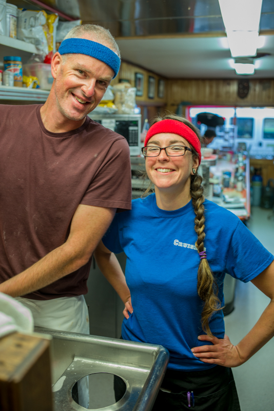
We ate breakfast Wednesday at the Two Medicine Grill in East Glacier. A small, hole-in-the-wall cafe on the main street, it was the only place (of only a very few places altogether) that was open at 6:30 am. It turned out to serve great omelettes. I could peer into the tiny kitchen while eating, and I watched the cook and the waitress work together like ballet dancers as they moved swiftly about but never collided or got in each other's way while the cook made up the orders and the waitress tended the tables. When I commented to the waitress about their ballet, she dismissed my complement by noting that their finesse was practiced: the two had worked together for 10 years. The breakfast was so good that we ate there again on Thursday morning.
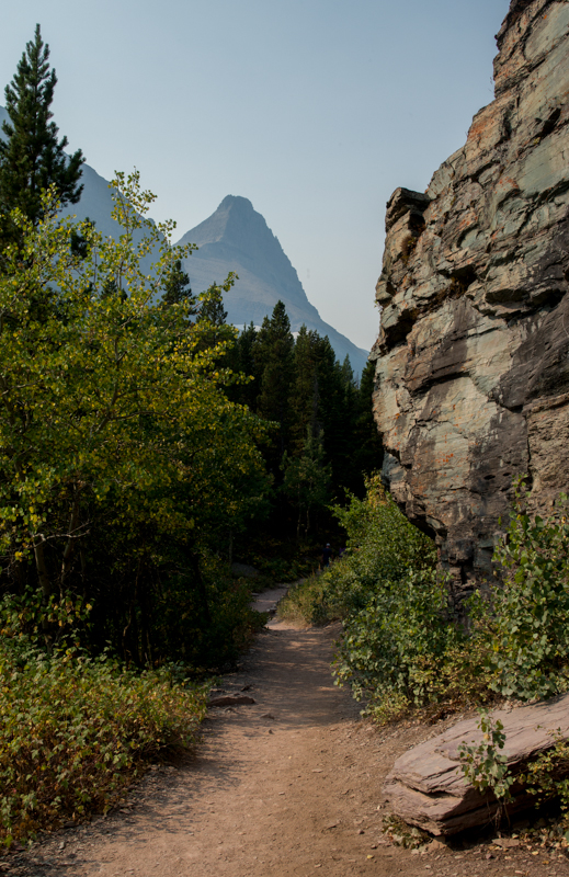
We returned to the park. The smoke was slightly better than the day before, presumably because cool nighttime temperatures had damped the fires a little and given the existing smoke time to diffuse and dissipate somewhat. We drove the Many Glaciers Road to its end at Swift Current where we were astounded at the number of tourists, campers and hikers that seem to have crawled out of the stones. We hiked about a mile and a half up the Swift Current Trail. Although this trail eventually rises above the treeline, the lower portion winds along a valley and through tall spruce and fir trees which prevent many grand views. The one or two views that do exist lent us a closer, somewhat better view of the mountains than we had previously gotten.
Returning to the parking lot, we saw several old men gathered around tripods bearing spotting scopes that were aimed at a distant mountain. At our inquiry they told us that they had watched a grizzly bear who had been just below the highest glacier on the mountainside. The bear was not currently visible, and I wondered how much they actually could see through the smoke.
We next drove back toward the park entrance. At one spot, some tourists had stopped their vehicles and blocked the road to be able to stare at a black bear that was gobbling fruits from a huckleberry bush. Just before reaching the entrance, we stopped along a side road for a short while to make and eat our own lunch: another day, another ham and cheese sandwich. (I wonder if bears get tired of eating huckleberries all fall.)
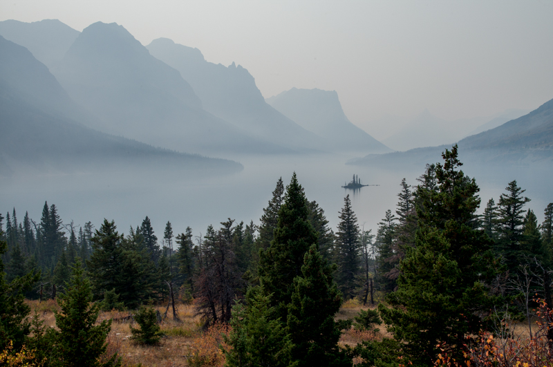
The Going to the Sun Road starts at St. Mary, and it winds into and over the Lewis Range. The smoke had grown more dense since morning, but we started up the road, despite knowing that it was closed at the Logan Pass summit. The further we drove, tracing the shore of St. Mary Lake, the denser the smoke became. Although we were getting closer to the mountain, we were unable to better discern any more detail in them, because we were also getting closer the smoke-producing fires. That was a bitter disappointment. The mountains in Glacier were eroded from uplifted sedimentary rock, and although Glacier's mountains are not so massive as Colorado's Southern Rockies which are made principally of mammoth granite blocks, the sedimentary rock here erodes very differently to produce very jagged mountains having striped cliff-bands of differently colored rock strata. This gives Glacier's mountains a shape and character that is quite distinctive - - - at least that's what I read, and that's what I see in others' photographs - - - I still haven't seen it myself. At the Logan Pass summit, the smoke was so dense and the smell so strong, that we turned around without stopping and descended.
We spent the late afternoon driving south, back toward East Glacier where we would spend another night. Along the way we drove a few miles up the Cut Bank road. The road runs parallel to and above Cut Bank Creek, and it ends at the Cut Bank primitive campground (tents only, not the usual parking lot full of trailers and RVs.) We stopped for a while at a spot offering a wide view of the willow thickets along the creek where we hoped to see a moose browsing the willows. No moose was around when we arrived and after we could detect no one after about a half-hour we left and proceeded back to East Glacier.
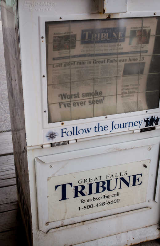
Morning saw little change in the smoke which had been so difficult to breathe. The sun came up a deep orange color that cast an eerie light on East Glacier. The newspaper from Great Falls carried a headline quote from an old timer who thought this year's smoke surpassed that of all other years.
We left East Glacier after breakfast and headed west on US 2. Our tentative plan was to get west of the fires and then to travel north on US 93 up the west side of Glacier and into Canada. We passed West Glacier and stopped in Columbia Falls to fill the gas tank. While doing so, a VW bus pulled up at the opposite side of the gas pump. I spoke to the man driving the van and asked if he was a local. When he said "yes," I asked what he knew about the fires, the smoke and the situation north along US 93 and in Canada. He told me that he expected the fires to until snowfall, that he didn't know about Canada beyond Waterton and that there was a new fire near US 93 at Eureka, some 50 miles to the north and that evacuations were impending there. This was all discouraging news.
Conference time. The existing smoke is making our trip far less enjoyable than planned. It could be a long wait for the smoke to clear. Canada has its own fires burning in British Columbia and they are likely to be adversely affecting Banff and Jasper (not certain). The fires may close the direct road from here to Canada. Going back to East Glacier then going north seems no more appealing and no more likely to succeed. Conclusion: go home; try again another time when circumstances and uncertainties are not big impediments. Decision made; do it.
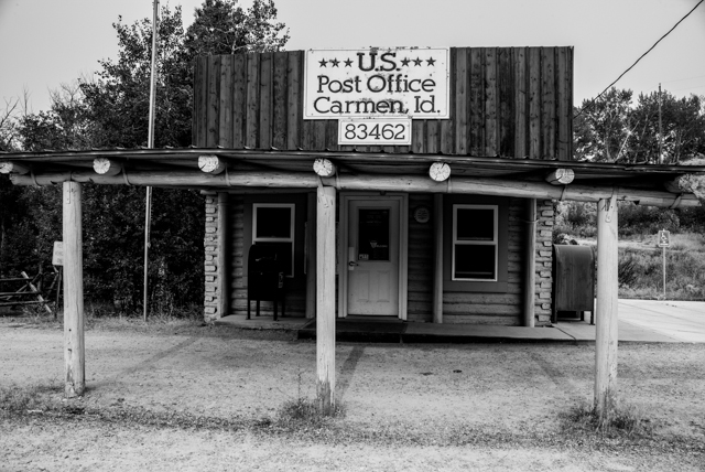
We turned onto US 93. Instead of heading north as intended, we headed south through Kalispell, past the very long Flathead Lake and past the National Bison Range, through Missoula, and over the Bitterroot Range at Lost Trail Pass. There we entered Idaho and drove past the Carmen US Post Office which provided me another photo for my US Post Office project.
Reaching Salmon, Idaho, we turned south-east on SH 28 with the Bitterroots now on our left and drove until we reached Mud Lake. Thence east to I-15 and south to Idaho Falls where we wanted to spend the night. But all the motels/hotels were full. The crush, we were told, was of parents taking their kids to the BYU-Idaho campus just up the road in Rexford, Idaho. We drove on to Alpine, Wyoming for the night
Friday. We'd try to be home at the end of the day. There remained nearly all of Wyoming to cross before heading south into Colorado. Remote country of Wyoming, country with little rainfall where only cattle do at all well.
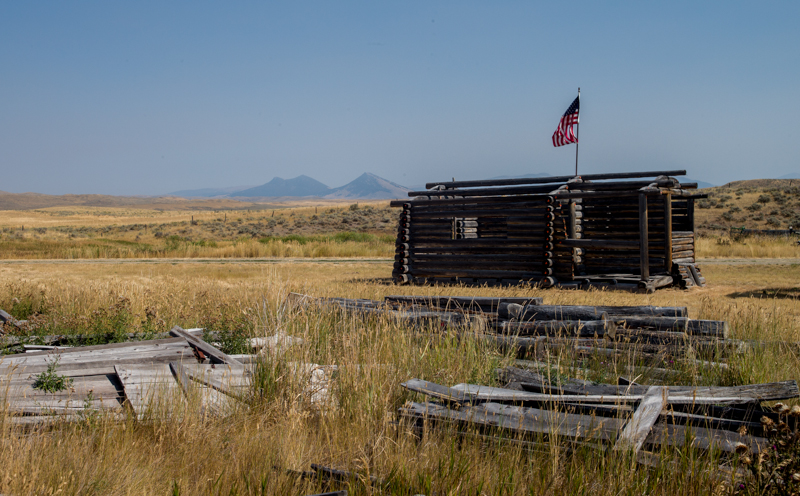
Despite our goal to get home, we stopped for at least an hour at the Fossil Butte National Monument which is along US 30 a few miles west of Kemmerer. The monument is the site of a fossil quarry found in the sedimentary rocks that were produced from the silt and sands of Fossil Lake. The lake was the smallest of the three freshwater lakes that existed in the Eocene Epoch near the common borders of Wyoming, Utah and Colorado and which together produced the Green River Formation. The fossil fish, alligators, bats, turtles, small horses, insects and numerous species of plants constitute the best-preserved record of North America's Cenozoic aquatic ecologies. The National Monument Visitor Center is almost entirely devoted to marvelous and extensive exhibits of these fossils and of the geological history of the Lake. We both greatly enjoyed our stop to see the fossils once again, our first since we took Colin there many years ago.
We continued on to Kemmerer, and from Kemmerer we followed US 30 to I-80 just west of Green River. Taking I-80 directly to Laramie, rather than driving the back roads we usually prefer, assured us that we could get home from Alpine in one day. And we did.